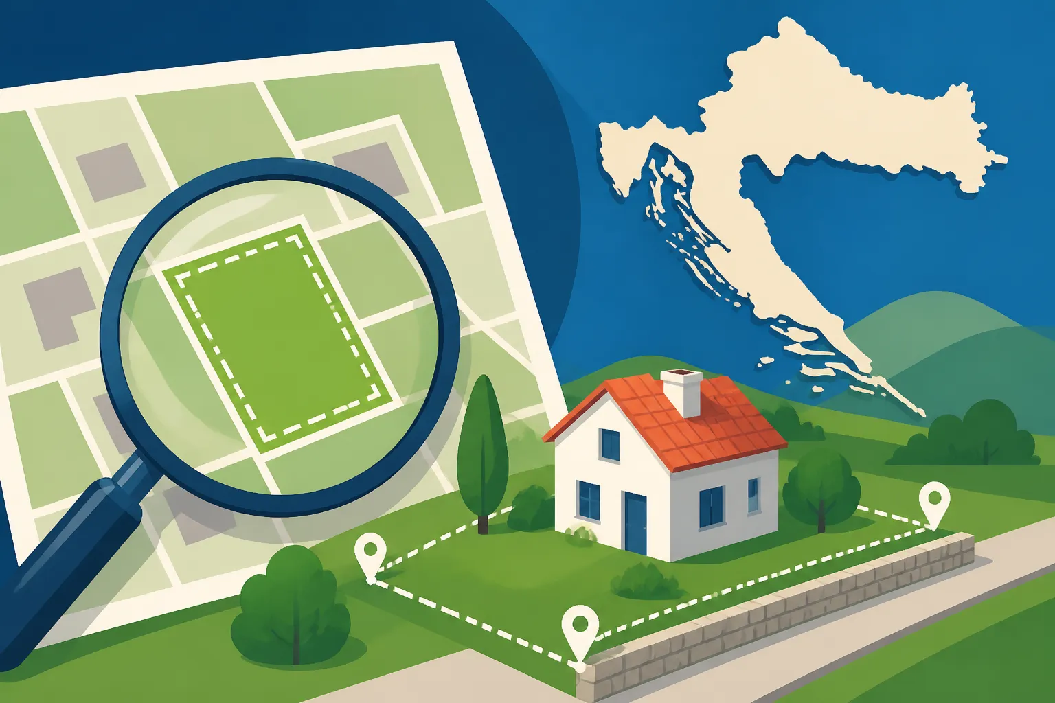
Understanding the Katastar (Cadastre) and Property Boundaries in Croatia
Oh, the Croatian property journey! If you're an expat, I know you've probably already felt that unique blend of excitement and sheer bewilderment when trying to understand something as fundamental as what land actually belongs to you, or what you're even contemplating buying. It’s not like back home, is it? The seemingly simple act of identifying property boundaries in Croatia can feel like deciphering an ancient scroll written in a language you’ve only half-learned. This guide is here to shed some much-needed light on the Katastar (Cadastre), how it defines property boundaries, and how it all fits into the bigger picture of land ownership here, helping you navigate this often confusing but utterly vital aspect of life in Croatia.
What Exactly is the Katastar (Cadastre) in Croatia?
Let's start with the basics, because this is where a lot of the initial confusion usually creeps in. In many countries, the cadastre might just be a database of land parcels. In Croatia, it's a foundational pillar of property rights, but it’s often misunderstood, especially by those of us coming from different legal systems. Think of the Katastar as the country's official record of all land parcels, focusing on their physical characteristics: size, shape, location, and boundaries. It’s the geometric, technical side of property.
The Role of the Cadastre in Property Ownership
The primary function of the Katastar is to provide a comprehensive, geographically precise record of all real estate in Croatia. This means it contains detailed maps showing individual land parcels, along with data about their area, type of use (e.g., agricultural, construction land), and, crucially, their precise boundaries. It's maintained by the State Geodetic Administration (Državna geodetska uprava – DGU).
Now, here's where it often gets tricky for expats: the Katastar is not the same as the Land Registry (Zemljišne Knjige), although they are inextricably linked. The Land Registry, managed by the courts, is where the legal ownership and rights (like mortgages or easements) are recorded. The Cadastre, on the other hand, is about the physical reality of the land. It defines "where" your property physically sits and "how big" it is, while the Land Registry defines "who" owns it and "what rights" they have over it. You simply cannot have one without the other, and any proper real estate transaction absolutely requires both systems to be aligned. This duality is a common point of frustration, but understanding it is key to avoiding future headaches.
Emphasizing its importance, any construction project, subdivision of land, or even marking out a new fence will invariably involve cadastral data and, more often than not, a geodetic survey based on it. If you’re buying property, building a house, or even just trying to figure out where your neighbor's new wall should truly end, the Katastar is your starting point. It's the visual blueprint that underpins everything else.
How the Cadastre System is Organized
The State Geodetic Administration (DGU) is the main body responsible for maintaining the Katastar. They have local offices throughout the country, typically organized by cadastral municipalities (katastarska općina). These are administrative units, usually corresponding to historical village or town boundaries, within which land parcels are numbered sequentially. When you look up a property, you'll need its cadastral municipality and its unique cadastral parcel number (katastarska čestica broj).
The DGU has made strides in digitizing its records, and there are now publicly accessible online portals where you can view cadastral maps and basic parcel information. However, while these portals are a huge step forward for transparency and convenience – imagine trying to find a paper map for every parcel in the country! – they don't always provide the complete picture or official documents needed for legal purposes. For instance, you can often see a parcel on a map, but the accuracy for older, non-digitized records or newly surveyed areas might vary. You might even find yourself needing to access the digital services offered by gov.hr and e-Građani for certain official requests related to property.
This organizational structure means that when you’re dealing with a property, you’re often interacting with a system that has both very modern digital components and, sometimes, layers of historical data that haven't quite caught up. This mixture can be particularly challenging for expats who are used to more uniformly updated and accessible systems.
Deciphering Cadastral Data: What You'll Find
So, you've located your parcel on the Katastar. What exactly are you looking at, and what does it all mean? This isn't just a pretty map; it's a treasure trove of information that, once understood, can tell you a great deal about a piece of land.
Cadastral Map (Katastarski Plan) and Parcel Numbers
The cadastral map, or katastarski plan, is perhaps the most recognizable output of the Katastar. These maps visually represent all land parcels within a specific cadastral municipality, showing their shapes, sizes, and relative positions. Each parcel is assigned a unique number, the katastarska čestica broj, which is its identifier within that particular cadastral municipality. This number is absolutely vital; it’s like the property’s social security number. Without it, you can't properly search for information in either the Cadastre or the Land Registry.
However, a crucial point for expats to understand is that the lines on these older cadastral maps, especially those from before modern GPS technology, aren't always 100% accurate representations of the physical reality on the ground. Historical surveys, often done with simpler methods, mean that a boundary shown as a straight line on an old map might actually be a slightly curved fence, or a stone wall that has shifted over decades. This is particularly common in older villages or rural areas. Don't be surprised if the map doesn't perfectly match what you see when you visit the property. This is why a proper geodetic survey by a licensed expert is almost always a necessity when buying or building.
For instance, you might view a parcel online and see its outline, but when you physically walk the land, the boundaries may seem ambiguous, or a fence might clearly be off the line drawn on the map. This discrepancy doesn't automatically mean something is wrong, but it certainly means further investigation is needed. It’s important not to assume the map is the absolute truth without verification, especially if you’re making a significant investment.
Cadastral Culture (Katastarska Kultura) and Surface Area
Beyond the visual map, cadastral data also includes descriptive information. One key piece is the "cadastral culture" (katastarska kultura), which defines the primary use of the land. This could be oranica (arable land), vinograd (vineyard), šuma (forest), pašnjak (pasture), or, very importantly for anyone planning to build, građevinsko zemljište (construction land). The cadastral culture is significant because it can impact zoning regulations, taxes, and the potential for development. You can’t just decide to build a house on šuma without going through significant reclassification, which is a complex and often lengthy process.
The surface area (površina) of the parcel is also recorded. This figure, expressed in square meters, gives you a quantifiable size of the property. Again, much like the boundaries, the recorded surface area might not always perfectly align with what a brand-new, highly accurate geodetic survey reveals. Minor discrepancies are not uncommon, especially for older parcels. However, significant differences could indicate a problem that needs to be addressed before a purchase. If you’re looking at a plot of land for, say, a new villa, understanding the precise, verified surface area and its designated cadastral culture is absolutely non-negotiable.
It’s crucial to verify both the cadastral culture and surface area against the Land Registry data during any due diligence process. If there are inconsistencies, they must be resolved, or you could face serious legal and financial issues down the road. These details aren't just bureaucratic; they impact the very essence of what you can do with the land and its actual value.
The Tangled Web of Property Boundaries in Croatia
Ah, boundaries! If there's one topic that gets Croatian neighbors talking (and sometimes arguing), it's property boundaries. These aren't always clear-cut lines in the sand, especially in areas with long histories and less formal record-keeping. As an expat, understanding how these are defined and, more importantly, how to verify them, is paramount.
Identifying and Verifying Boundaries
The challenge with property boundaries in Croatia often stems from their historical context. Many plots, particularly in rural or older urban areas, have boundaries that were established centuries ago, often marked by natural features like streams, old trees, or simply by the placement of ancient stone walls and fences. Over time, these markers can disappear, shift, or be misinterpreted. The cadastral maps attempt to capture these, but as we discussed, older maps have inherent limitations in precision.
This is where a licensed geodetic engineer (ovlašteni inženjer geodezije) becomes your absolute best friend. When you are serious about buying a property or are encountering a boundary dispute, engaging a surveyor is not an option; it's a necessity. They will conduct an official geodetic survey, using modern GPS technology to precisely locate and mark the boundaries of your parcel according to the official cadastral records. They can also identify if these records align with the physical reality on the ground and, if not, propose a solution for harmonization. This process often involves contacting adjacent landowners to acknowledge the proposed boundary lines, which can sometimes be a delicate dance.
For example, imagine you've found a beautiful plot of land near the coast. The online cadastral map looks great, but when you visit, you see a rickety old fence that clearly isn't straight, and your potential neighbor's olive trees are encroaching. A geodetic survey will tell you definitively where the actual boundary should be, providing peace of mind and, more importantly, legal clarity. This is particularly important for those who might need to stay connected and coordinate with their surveyor, especially if you're managing things remotely or traveling frequently. Keeping your phone connected with services like Airalo can be a real lifesaver for these kinds of on-the-ground logistics.
Common Boundary Disputes and How to Address Them
Boundary disputes are, unfortunately, a tale as old as time, and Croatia is no exception. These can range from minor disagreements over a few centimeters to full-blown legal battles over access roads or encroaching structures. Common scenarios include:
- Fences and Walls: A neighbor builds a new fence that you believe is on your land, or vice-versa.
- Vegetation: Trees or bushes from an adjacent property overgrow onto your land, or their roots cause damage.
- Access Roads: Disputes over shared driveways or pathways that cross property lines.
- Shared Structures: Disagreements over maintenance or ownership of walls that divide two properties.
Addressing these requires a calm head and, usually, professional intervention. The first step is often to commission a geodetic survey to establish the definitive legal boundaries. Once you have this technical proof, direct communication with your neighbor is advisable. If an amicable resolution isn't possible, Croatian law provides a process called uređenje međe, which means "boundary regularization." This is a legal procedure initiated in court to officially determine and mark the boundaries, often involving a court-appointed geodetic expert.
While legal routes exist, the reality on the ground often emphasizes the importance of good neighborly relations, especially in smaller communities. Starting with a friendly coffee and a printout of the surveyed boundaries can often achieve more than immediately jumping to legal action. Remember, you'll be living next to these people! A good real estate agent or lawyer can also mediate or advise on the best approach, emphasizing a cultural understanding of how these issues are typically handled.
| Feature | Katastar (Cadastre) | Zemljišne Knjige (Land Registry) |
|---|---|---|
| Purpose | Records geometric data, physical location, boundaries, size, and type of land use. | Records legal ownership, rights (e.g., mortgages, easements), and legal burdens on property. |
| Managed by | State Geodetic Administration (Državna geodetska uprava – DGU) | Municipal Courts (Općinski sudovi) |
| Key Output | Cadastral Map (Katastarski Plan), Cadastral Data Extract (Posjedovni list) | Ownership Certificate (Vlasnički List), Encumbrance Certificate (Teretovnica) |
| Primary Focus | Where and what the property is (physical aspects) | Who owns the property and what rights they have (legal aspects) |
| Accuracy | Historical accuracy can vary; modern surveys are precise. | Legally binding, presumed to be correct. |
| Relation to Sale | Essential for defining the physical object of sale and any necessary surveys. | Absolutely critical for proving legal ownership and ensuring a clean title. |
| Typical Problem | Discrepancies between map and ground reality, unclear boundaries. | Unregistered ownership, unresolved inheritance, outstanding mortgages. |
Integrating the Cadastre with the Land Registry (Zemljišne Knjige)
This is perhaps the most critical point for any expat dealing with Croatian property: the Cadastre and the Land Registry are two separate systems that must align. If they don’t, you’re looking at potential problems, ranging from minor delays to major legal headaches. Ignoring this integration is a surefire way to get into trouble.
The Interplay Between Cadastre and Land Registry
As mentioned earlier, the Katastar tells you the physical details of a property – its size, shape, and where it lies on the map. The Zemljišne Knjige, on the other hand, tells you the legal story: who the owner is, whether there are any mortgages or liens on the property, and what rights or encumbrances are attached to it. For a property transaction to be sound, the information in both systems must match. You need to be sure that the person legally registered as the owner in the Land Registry is indeed the owner of the physical parcel described in the Cadastre.
This concept is often summarized by the phrase "usklađenje," which means harmonization or alignment. Historically, especially after the complex changes of state ownership and privatization, many properties in Croatia suffered from a lack of harmonization between these two vital records. You might find a beautiful old stone house where the Land Registry lists one owner, but the Cadastre shows the parcel belonging to someone else entirely, or perhaps even the state! Or, the size of the land in the Land Registry might differ significantly from the Cadastre. This discrepancy can be a real roadblock to a smooth purchase or any future development plans.
Understanding this interplay means recognizing that getting an ownership certificate (vlasnički list) from the Land Registry isn't enough on its own. You always need to cross-reference it with the cadastral data to ensure the property you're buying legally exists as described and is legally owned by the seller. This due diligence is tedious, but it's your absolute safeguard against future legal battles.
The Harmonization Process (Usklađenje Katastra i Zemljišne Knjige)
When discrepancies between the Cadastre and Land Registry are identified, they must be resolved through a process called harmonization (usklađenje). This is not a quick fix, and it typically requires professional help.
The process usually involves several steps:
- Geodetic Survey: A licensed geodetic engineer first conducts a precise survey of the property, creating a new geodetic study (elaborat) that accurately defines the boundaries and surface area according to modern standards.
- MUP Approval (if applicable): In some cases, especially involving changes in land use or significant boundary alterations, this elaborat may need approval from the Ministry of Interior (MUP) or other local authorities, depending on the nature of the change. This is critical for getting any residence permit for example, as you need to officially register your address at the MUP.
- Cadastral Changes: The geodetic engineer submits the approved elaborat to the local cadastral office (DGU) to update the cadastral records.
- Court Filing: Once the cadastral records are updated, the next step is typically to file a request with the municipal court (Općinski sud) that maintains the Land Registry for the relevant cadastral municipality. This involves presenting all the updated cadastral documents, along with any other necessary legal paperwork, to harmonize the Land Registry entry with the new cadastral data.
- Court Decision: The court reviews the application and, if everything is in order, issues a decision to update the Land Registry. This can take time, sometimes months or even longer, depending on the complexity of the case and the court's workload.
This process highlights why it's so important to have an experienced local lawyer and geodetic engineer on your side. They can guide you through the bureaucratic maze, prepare the necessary documentation, and communicate with the various institutions involved. The costs involved can also be significant, including fees for the surveyor, court fees, and legal counsel, so budget accordingly. While the process can be complex and time-consuming, it is absolutely essential to ensure a clear and legally sound title to your property. Understanding how to check property ownership in the Land Registry in Croatia and ensuring that information aligns with the Cadastre is the cornerstone of secure real estate acquisition.
Accessing Cadastral Information and Professional Help
Navigating Croatian bureaucracy can be a real test of patience, and accessing official property data is no exception. However, thanks to digitalization efforts, it’s becoming much easier to get initial information, though official matters still often require boots on the ground.
Online Portals and Public Access
The State Geodetic Administration (DGU) operates the main online portal, e-Katastar (www.katastar.hr), which is an invaluable resource for preliminary searches. Here, you can search for cadastral parcels by cadastral municipality, parcel number, or sometimes even by address. You can view digital cadastral maps and get basic information about a parcel, such as its surface area and cadastral culture. This tool is excellent for reconnaissance, letting you quickly scope out potential properties or understand the layout of an area.
Another useful portal is the Joint Information System of the Land Registry and Cadastre (ZIS), also accessible through the DGU website. This portal aims to integrate data from both the Cadastre and the Land Registry, allowing you to see if a parcel is harmonized or if there are discrepancies. It’s a powerful tool, but remember that the online data, while generally reliable, might not always be sufficient for legal transactions. For example, while you can view a vlasnički list (ownership certificate) online, you'll often need a certified, stamped copy from the court for official purposes like property registration.
The e-Građani system, Croatia's e-government platform, also allows citizens (including expats with an OIB and appropriate digital credentials) to access certain property-related documents and services, though this typically requires a level of Croatian language proficiency and digital literacy with the system. While these online resources are a huge time-saver for initial checks, they can sometimes have minor delays in updates or simply not provide the legally binding documents you’ll need.
Engaging a Geodetic Expert or Lawyer
For anything beyond preliminary online checks – especially when buying property, constructing, or resolving boundary disputes – engaging a licensed geodetic engineer is non-negotiable. These professionals are the only ones legally authorized to conduct official surveys, mark boundaries, and prepare the geodetic studies required for updating cadastral records and the Land Registry. They understand the intricacies of Croatian land law and the specific technical requirements for surveys.
Your geodetic engineer will:
- Perform a precise survey of the land.
- Identify and mark actual boundaries.
- Prepare the necessary geodetski elaborat (geodetic study).
- Facilitate the harmonization process between Cadastre and Land Registry.
- Communicate with the DGU and, if necessary, with the courts.
Alongside a geodetic expert, a lawyer specializing in real estate is equally crucial. They will handle the legal due diligence, review all property documents (Cadastre and Land Registry, building permits, etc.), draft contracts, and ensure your rights are protected throughout the buying process. They can also represent you in court if a boundary dispute escalates or if complex harmonization is required. Choosing a reliable real estate agent in Croatia often means they can recommend trusted lawyers and surveyors.
The biggest challenge for expats often comes down to communication. Finding English-speaking professionals who are not only competent but also deeply familiar with the nuances of Croatian property law is paramount. Don’t hesitate to interview several professionals before making a choice. Their expertise will save you countless headaches, potentially significant financial losses, and a lot of emotional stress down the line. Remember, good advice is worth its weight in gold when navigating the often-labyrinthine administrative paths in Croatia. When you're dealing with such important details, reliable communication is vital, whether it's setting up your home internet connection or just ensuring your phone is always connected with an eSIM, perhaps from a provider like Airalo, as you move between meetings and property viewings.
Disclaimer
This article is for general informational purposes only and does not constitute professional advice. Laws, prices and regulations vary by location and change over time. Consult a qualified professional for guidance on your specific situation.